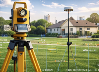
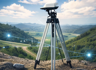
Advanced tools like GNSS, total stations, laser scanners, drones, and GIS devices ensure accurate land measurement and mapping for all project needs.
Manpower
Skilled surveyors, GIS specialists, CAD technicians, and drone operators ensure accurate data collection and precise land mapping for every project.
Software
Advanced GIS, CAD, and GNSS-based software enable accurate data analysis, detailed mapping, and efficient infrastructure design and land management.
General
Digital land survey services use GPS, drones, and GIS technology to deliver accurate mapping, boundary identification, and reliable land data for development projects.
Topographical Survey
Our topographical surveys capture elevations, terrain features, and structures to provide accurate data for construction, infrastructure, and land development planning.
Contour & Mapping
We create precise contour maps showing land elevations and terrain features to support accurate planning and development decisions.
Town Planning Survey
We provide detailed land use and infrastructure surveys to support organized, compliant, and sustainable urban and rural development.
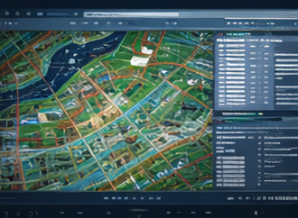
Mapping & GIS
We deliver advanced GIS-based mapping solutions that provide accurate spatial data for effective planning, analysis, and land management.
2D & 3D Modeling
2D & 3D Modeling
We provide precise 2D drawings and 3D models to support accurate planning, clear visualization, and efficient project execution.
Cadastral Survey
We establish accurate land boundaries and ownership details to support legal registration, subdivision, and secure property transactions.
Setting Out Works
We precisely mark and align construction elements on site to ensure accurate execution according to approved design plans.
As-Built Survey & Drawings
We provide accurate documentation and drawings of completed projects to reflect final site conditions and ensure compliance.
Quantity Estimation
We accurately calculate materials and resources to support efficient budgeting, procurement planning, and cost control.
Infrastructure Survey
We conduct detailed surveys of roads, utilities, and structures to support safe, accurate, and well-planned infrastructure development.
Property Survey
We accurately identify and measure property boundaries to support legal documentation, land transactions, and development planning.
Traversing
We perform high-precision control surveys to establish accurate reference points for mapping, construction, and land development.